
Where to go, how to get there, what it costs — in one place
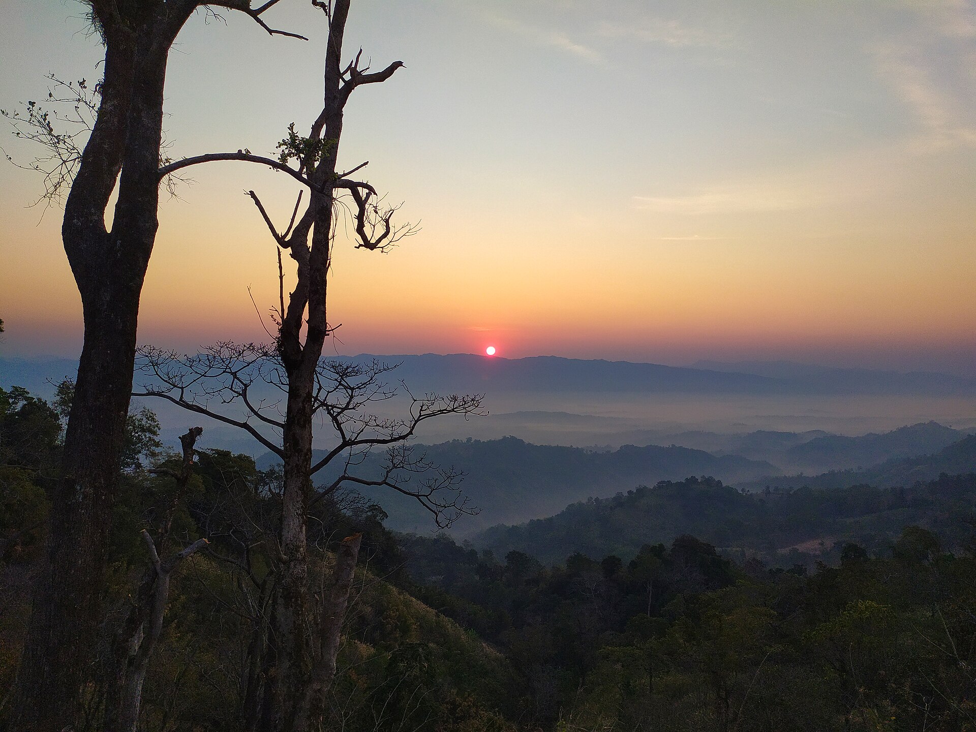
Chattogram DivisionPhoto from Sajek Valley, Rangamati
SEARCH
Find a destination
Search by name, district, division or type — everything works without the map too.
172 destinations found
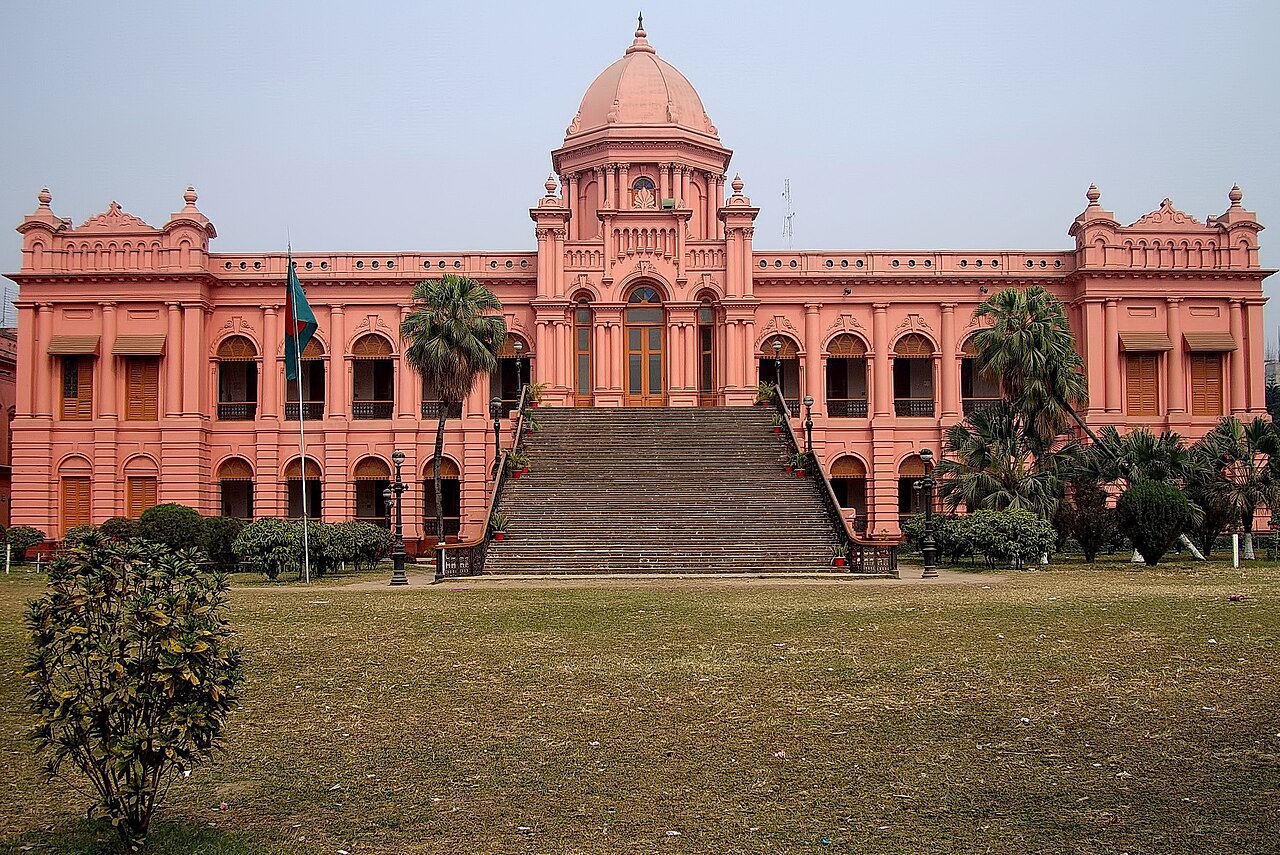 Ahsan ManzilUrban / day trips · Dhaka, Dhaka
The riverfront residence of the Nawabs of Dhaka on the Buriganga river; now a museum. Also known as the 'Pink Palace' for its colour.
Community-reported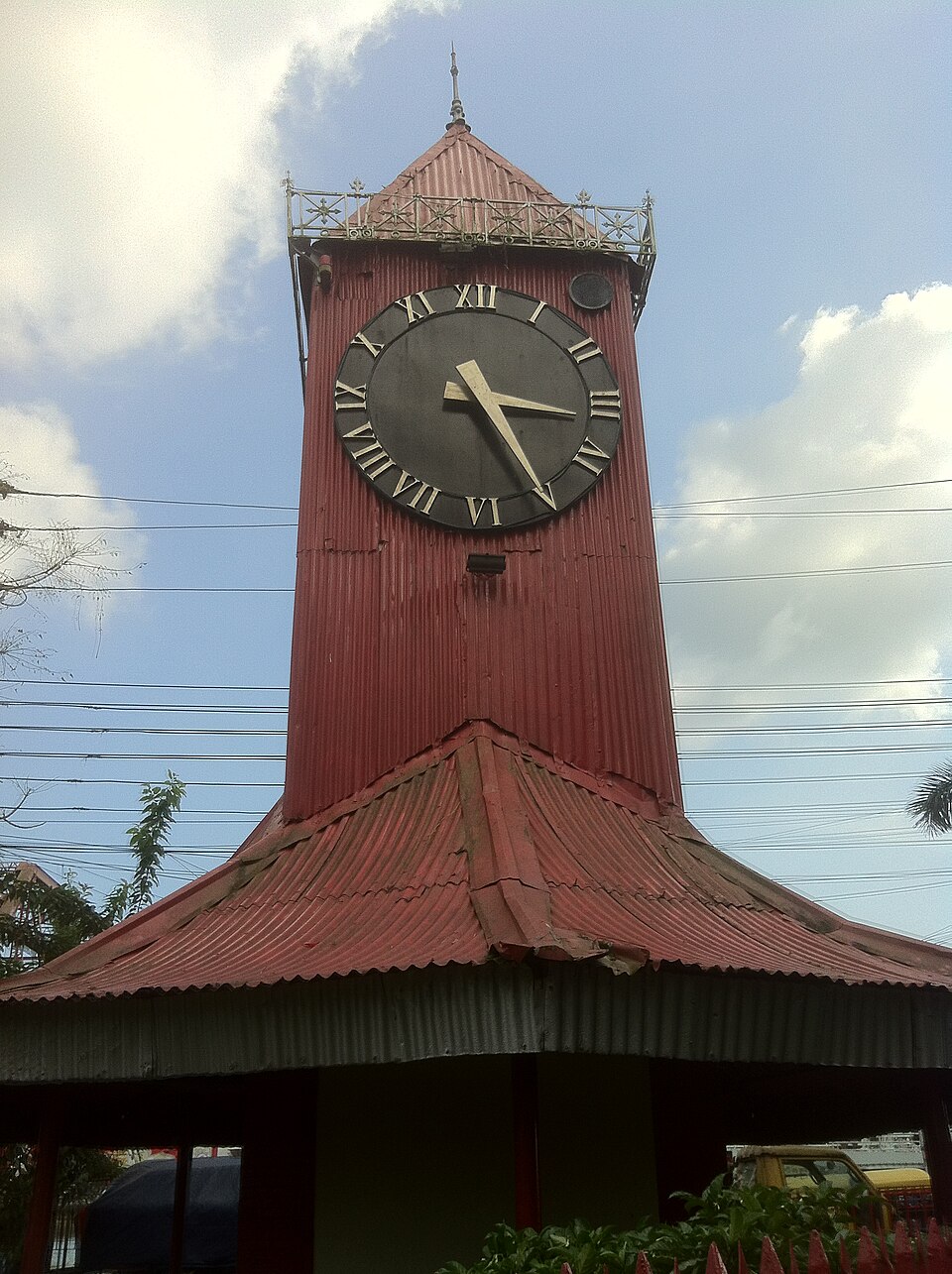 Ali Amjad's ClockUrban / day trips · Sylhet, Sylhet
Bangladesh's oldest clock tower, on the north bank of the Surma River beside the iron Keane Bridge; it was founded in 1872 by Nawab Ali Ahmad Khan of Prithimpassa and named after his son, Nawali Amjad Khan. Wikivoyage calls it "the Big Ben of Sylhet" (that page gives a differing construction date; Wikipedia's 1872 founding is adopted here). An evening riverside walk combining the tower and the bridge is a popular city activity.
Directly confirmed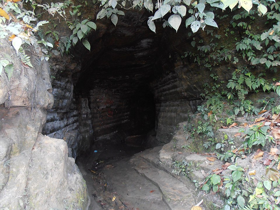 Alutila CaveNature & forests · Khagrachhari, Chattogram
A 100-metre natural cave inside the roughly 1,000-metre Alutila (Arbari) hill, with cold water flowing along its floor. It is pitch dark inside, so bring a torch; locals sell flambeaux. An easy day trip from Khagrachhari town.
Community-reported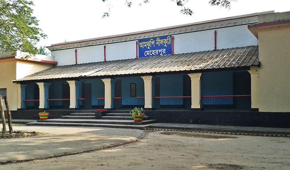 Amjhupi NilkuthiHistoric · Meherpur, Khulna
A British-era indigo warehouse about 6 km east of Meherpur town beside the Kajla/Bhairab river, a witness to the exploitative history of indigo cultivation. It is known as an archaeology-administered monument and has been considered a tourist centre since 1978. The two-storey kuthi building, adjacent tank and grounds are worth seeing, though the structures are somewhat neglected.
Directly confirmedAs-Salam Jame Masjid, RamgatiHistoric · Lakshmipur, ChattogramA two-storey, window-less modern mosque at Charporagachha union in Ramgati; per The Daily Star it is lit by natural light, letting worshippers feel monsoon rain and winter mist without getting wet or overheated. An education complex has grown around it and draws visitors from other districts.
Community-reported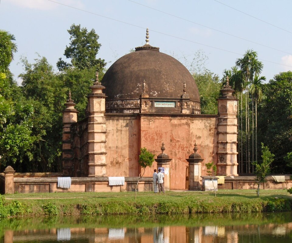 Atia MosqueHistoric · Tangail, Dhaka
A four-domed historic mosque built around 1610-1611 CE during Mughal emperor Jahangir's reign and protected by the Department of Archaeology. It stands about 6 km south of Tangail city on the eastern bank of the Louhajang River. Its terracotta ornamentation and quiet riverside setting make it a rewarding half-day trip.
Community-reported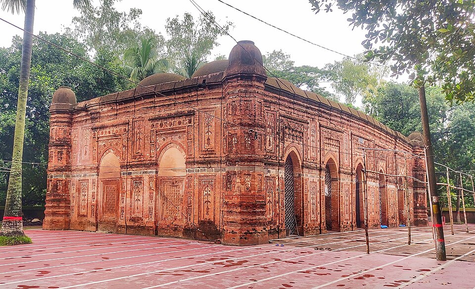 Bagha MosqueHistoric · Rajshahi, Rajshahi
One of the finest surviving Bengal Sultanate mosques, built in 930 AH (1523/24 CE) by Sultan Nasiruddin Nasrat Shah. Walls inside and out carry terracotta floral and fruit motifs; the mosque has ten domes beside an old lake, rebuilt after the 1897 earthquake destroyed the originals. It is still used for worship.
Community-reported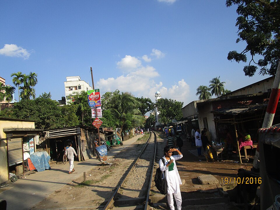 Bahadurabad GhatHistoric · Jamalpur, Mymensingh
A historic rail-ferry terminal on the Jamuna River: in 1912 the railway line was extended from Jamalpur to Bahadurabad Ghat, from where rail ferries crossed to Tistamukh Ghat. The station on the Narayanganj-Bahadurabad Ghat line is now defunct, but the riverside setting and railway heritage still draw history-minded visitors. It is listed among the notable historical sites of Jamalpur district.
Directly confirmedFEATURED
Destinations travellers look for
A first look at some of the country's best-known places — every page with transport, honest cost notes and sources.
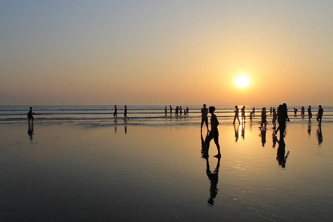 Cox's Bazar BeachBeaches · Cox's Bazar, Chattogram
One of the world's longest natural sandy sea beaches — stretching roughly 120 km. Laboni, Inani and Sugandha points are the most popular. Famous for sunrise and sunset views.
Community-reported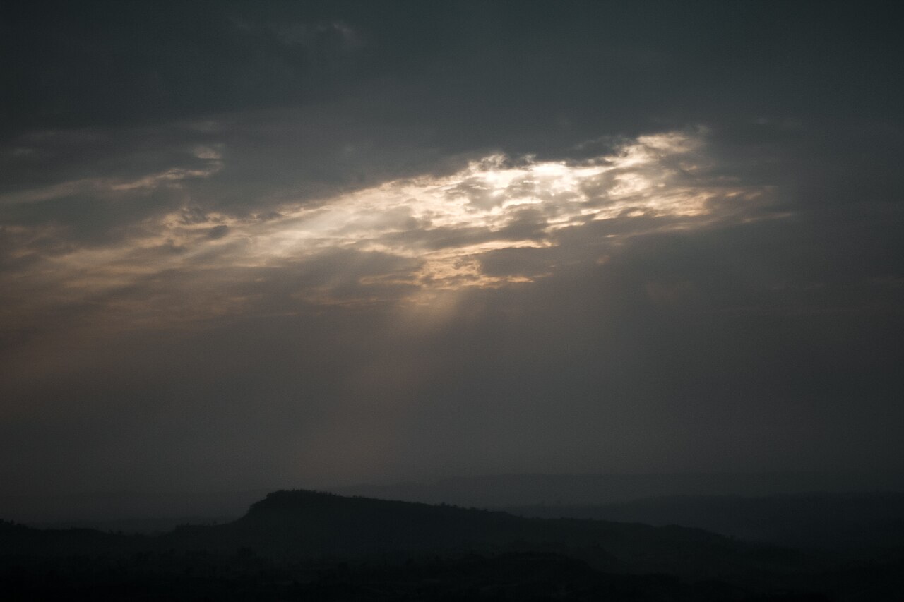 Sajek ValleyHills · Rangamati, Chattogram
A tourist village at about 1,800 feet in the Kaptai hill area of Baghaichhari upazila, Rangamati. Famous for cloud-covered hill roads and sunsets.
Community-reported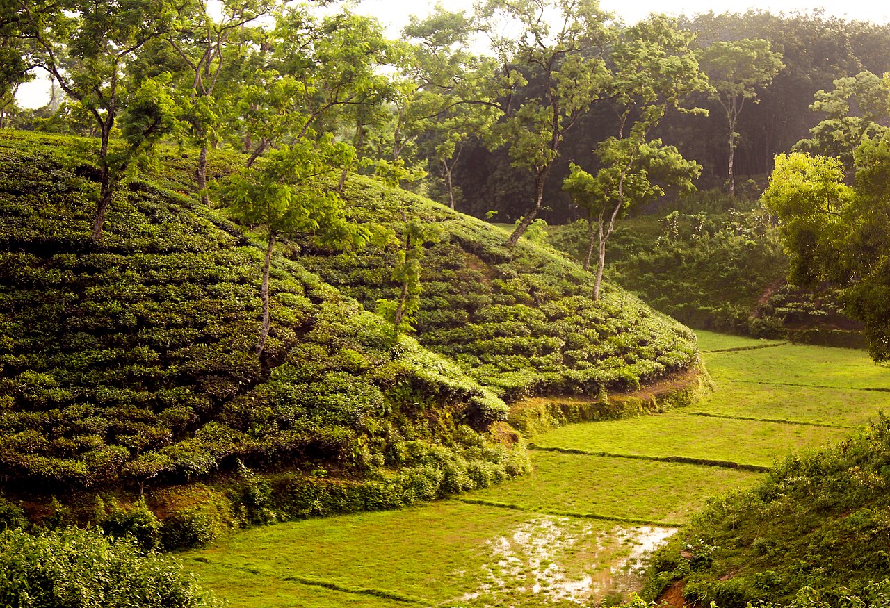 Srimangal Tea GardensNature & forests · Moulvibazar, Sylhet
Bangladesh's 'tea capital'. Vast tea gardens, Laskarpur bamboo groves, Madhabpur Lake and the famous seven-layer tea. Lawachara National Park and Madhabkunda waterfall are close by.
Community-reported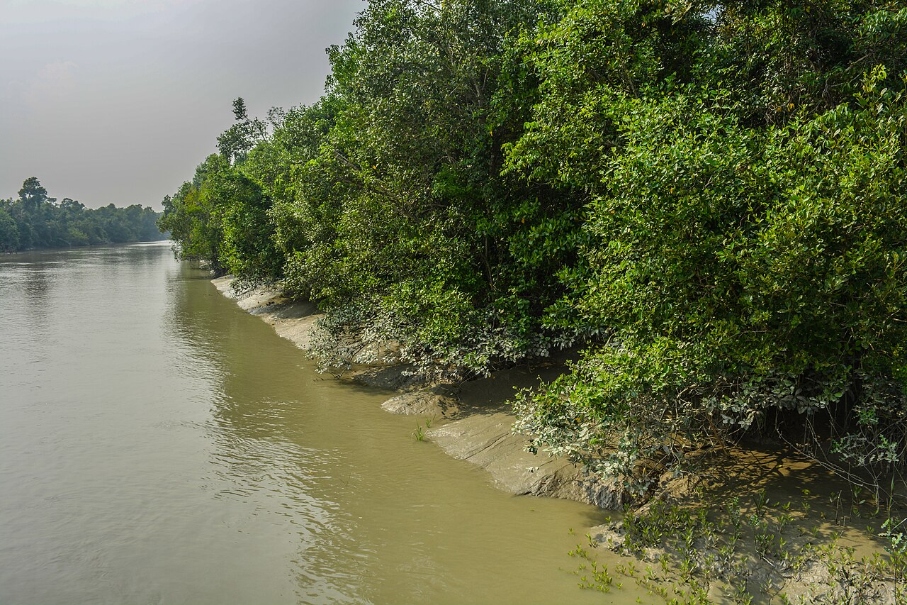 SundarbansNature & forests · Khulna, Khulna
The world's largest mangrove forest; home of the Royal Bengal Tiger and a UNESCO World Heritage Site. Explored by boat through a network of creeks and channels.
Community-reportedCHOOSE A REGION
All of Bangladesh on one map
From hills to sea, tea gardens to rivers — tap or hover a division to see where it is and what to discover there.
Tap a division to select it
From hills to sea, tea gardens to rivers — tap or hover a division to see where it is and what to discover there.
Boundaries: Bangladesh division-level administrative data (BBS 2011 via DGHS GIS), simplified; approximate for visual use only.
LANDSCAPES
Explore by landscape
Sea beaches, green hills, rivers and forests, centuries of heritage — choose the kind of Bangladesh you want to see first.
Beaches8 destinations listedPhoto from Cox's BazarHills6 destinations listedPhoto from Sajek, Rangamati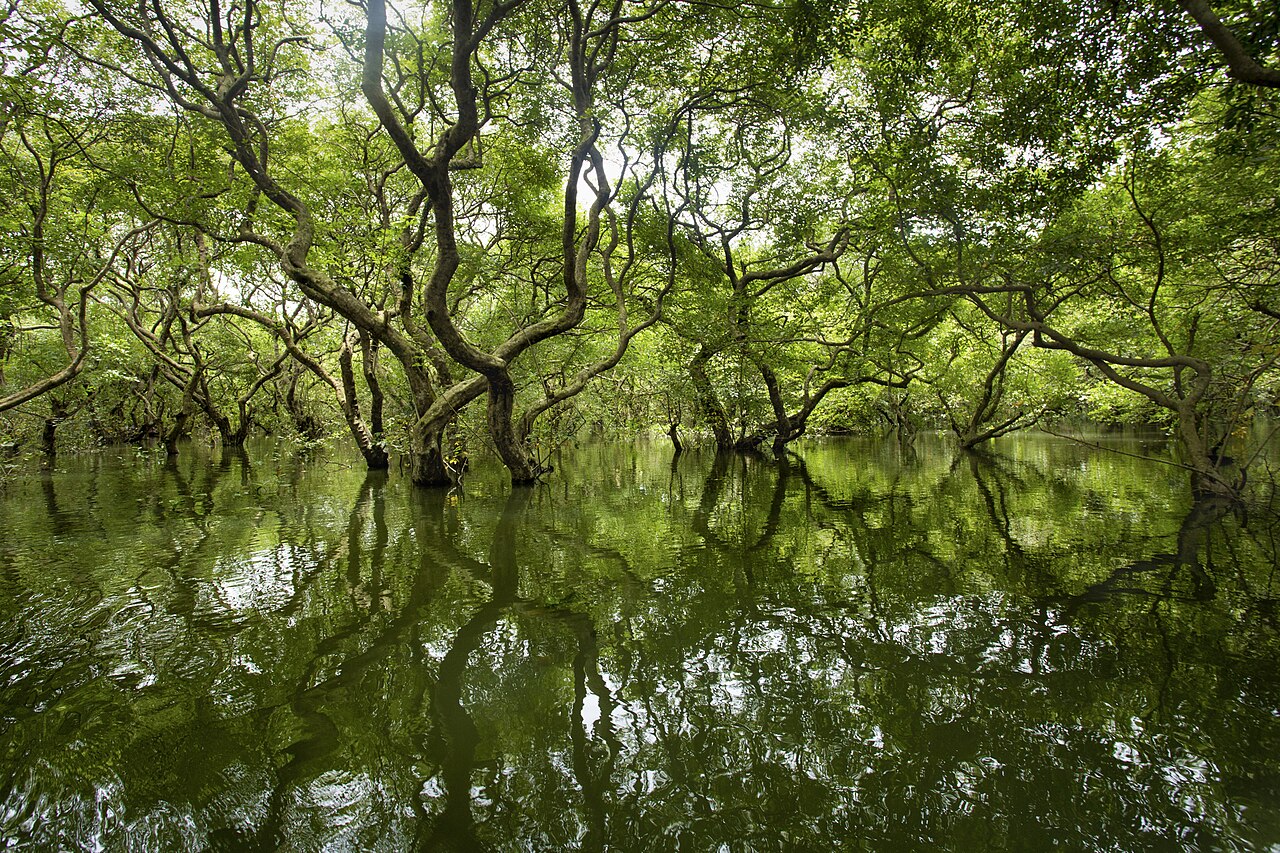 Nature & forests57 destinations listedPhoto from Ratargul, Sylhet
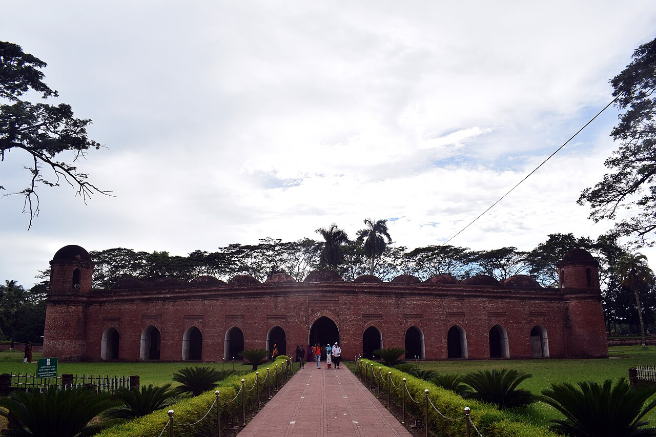 Historic78 destinations listedPhoto from Sixty Dome Mosque, BagerhatUrban / day trips23 destinations listedPhoto from Ahsan Manzil, Dhaka
PLAN
Plan your trip as you browse
Add destinations to a plan, order them, enter your own costs, and get an estimate plus a shareable link — all in your browser, no account.
Open TravelSplit- Add destinations
- Enter your own costs
- Get an estimate and share the link
TRUST