
All destinationsBanglabandha Zero Point
Nature & forests
Banglabandha Zero Point
বাংলাবান্ধা জিরো পয়েন্ট · Tetulia, Banglabandha, Tetulia, Panchagarh district, Rangpur Division
Introduction
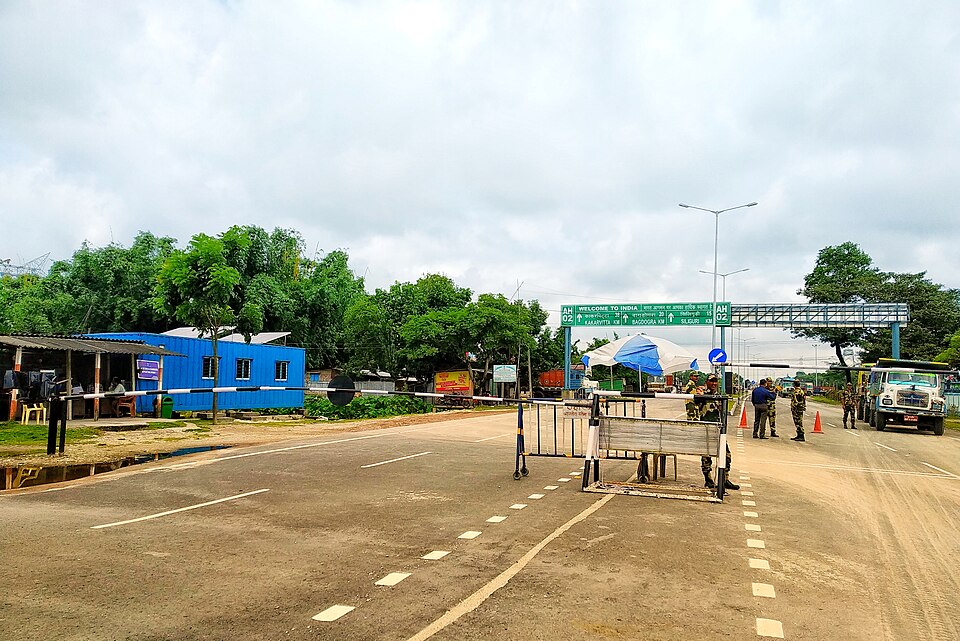
The northwestern tip of Bangladesh, where the Banglabandha land port was established to trade with India, Nepal and Bhutan. It sits 57 km north of Panchagarh town, near the Mahananda river bank with Himalayan foothills on the horizon — popular as the country's northernmost point.
Suggested time: half day (round trip from Panchagarh)
How to get there
From Panchagarh town take a bus, CNG or CSDG via Tetulia to Banglabandha (about 57 km). From Dhaka reach Panchagarh by bus or train (confirm schedules).
The honest truth about costs
No entry fee; vehicle hire is the main cost.
What you will need to budget for
- Getting there (bus, train, launch or air fare)
- Stay (per night, per room)
- Food (per person, per day)
- Entry tickets and local transport
- A small buffer for the return journey
These are the categories only — enter your own amounts in TravelSplit. We never publish a fare we have not verified.
Sources
- Banglabandha — Wikipedia (encyclopedia, retrieved October 14, 2026)